Service area · Friesland
Hire a drone
in Friesland.
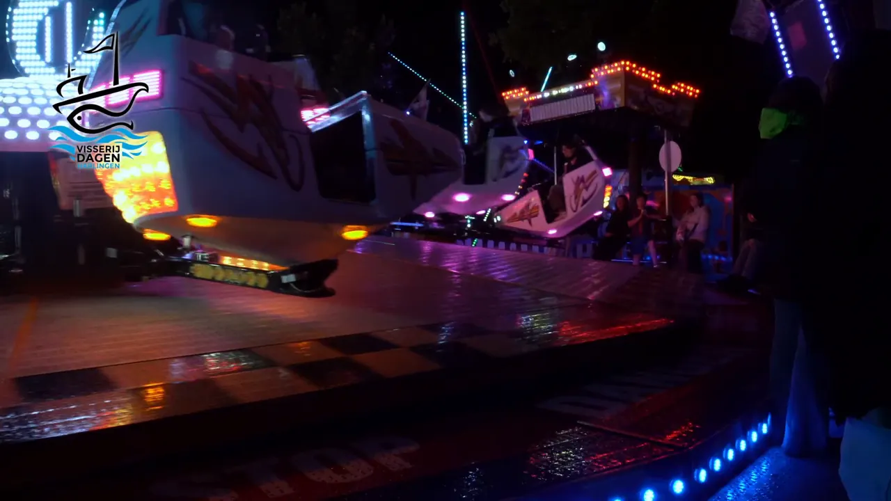
Friesland is our home base. Here we made the aftermovie of the Visserijdagen in Harlingen, and the aftermovie and a site plan of the Agrarische Dagen on the Sjûkelân in Franeker. Whether it is an FPV flight through a business in Drachten or aerial photos of a farm near Dokkum: we fly across the whole province.
What we do in Friesland
From workshop to meadow.
Friesland has plenty of businesses with something worth showing: a workshop, a showroom, a farmyard or an event that draws thousands of people every year. We capture it from wherever it looks best, inside or above.
- FPV through your business: showroom, workshop and office in one flight
- Aftermovies of village festivals, fairs and festivals
- Aerial photos and drone video of properties, farmyards and building projects
- Inspections of roofs, gutters and facades without scaffolding
- Site plans of event grounds and plots, ready to measure
Who it is for
Who calls on us in Friesland.
- EventsFrom the Visserijdagen in Harlingen to the Agrarische Dagen in Franeker: an aftermovie that shows what it felt like to be there.
- AgricultureYour yard, your barns and your land from above, or a site plan to scale with a plant health map.
- BusinessesAn FPV flight through your premises for your website, your vacancies or an open day. Three minutes that do what an hour-long tour does.
- Leisure and waterMarinas, campsites and holiday parks by the lakes: from above you see at a glance where you are.
Places
All over Friesland.
- Leeuwarden
- Sneek
- Drachten
- Heerenveen
- Franeker
- Harlingen
- Bolsward
- Dokkum
- Joure
- Lemmer
- Wolvega
- Burgum
- Workum
- Gorredijk
- Oosterwolde
- Makkum
- Terschelling
- Vlieland
- Ameland
- Schiermonnikoog
Your village not listed? We will come just the same. For the Wadden Islands we plan the crossing as well, and pay extra attention to the nature rules.
Flying in Friesland
What we keep an eye on.
Friesland is open and spacious, but you cannot simply fly anywhere. We check in advance what applies at your location. Where permission is needed, we apply for it. So you do not have to dig into it yourself.
- Around Leeuwarden Air Base there is a military control zone; a large part of Leeuwarden lies inside it
- The Wadden Sea, the Alde Feanen and the Lauwersmeer are Natura 2000 areas, with their own rules
- Flying over people is not simply allowed; at an event we choose the route with care
- We only take off and land with permission from whoever owns the ground
Questions
Questions from Friesland.
Can you fly a drone in Leeuwarden?
A large part of Leeuwarden lies within the control zone of Leeuwarden Air Base. There you may only fly with permission and after coordination with air traffic control. Outside that zone the normal rules apply. Tell us the address and we will find out what is possible.
Can you film on the Wadden Islands?
Yes, but the islands and the Wadden Sea are largely protected nature. Above the villages and a business or campsite it is often possible; above the nature, extra rules apply. We look into it for each job.
What does it cost to hire a drone in Friesland?
Aerial imaging of one location from €425, an FPV flight through your business from €850 and an aftermovie from €1,020, excluding VAT.
Do you also map farmland?
Yes. From drone photos we make an orthophoto: a site plan to scale that you can measure on. With the plant health map you see at a glance where the crop is doing well and where it is not. There is an example on the site plans page.
Also in the north
Where in Friesland
shall we fly?
Send us the location and what you want to show. You will hear from us within two working days, with a proposal and a price.